Modeling From a GPS Location


Geographical satellite data exists for every square inch of Earth, and it's public, too. In fact, many common or well-known buildings have already been 3D-engineered and are quickly accessible. With this in mind, Master Sketch 3D incorporates a straightforward process to help you visualize the destination of your project using pinpoint navigation.
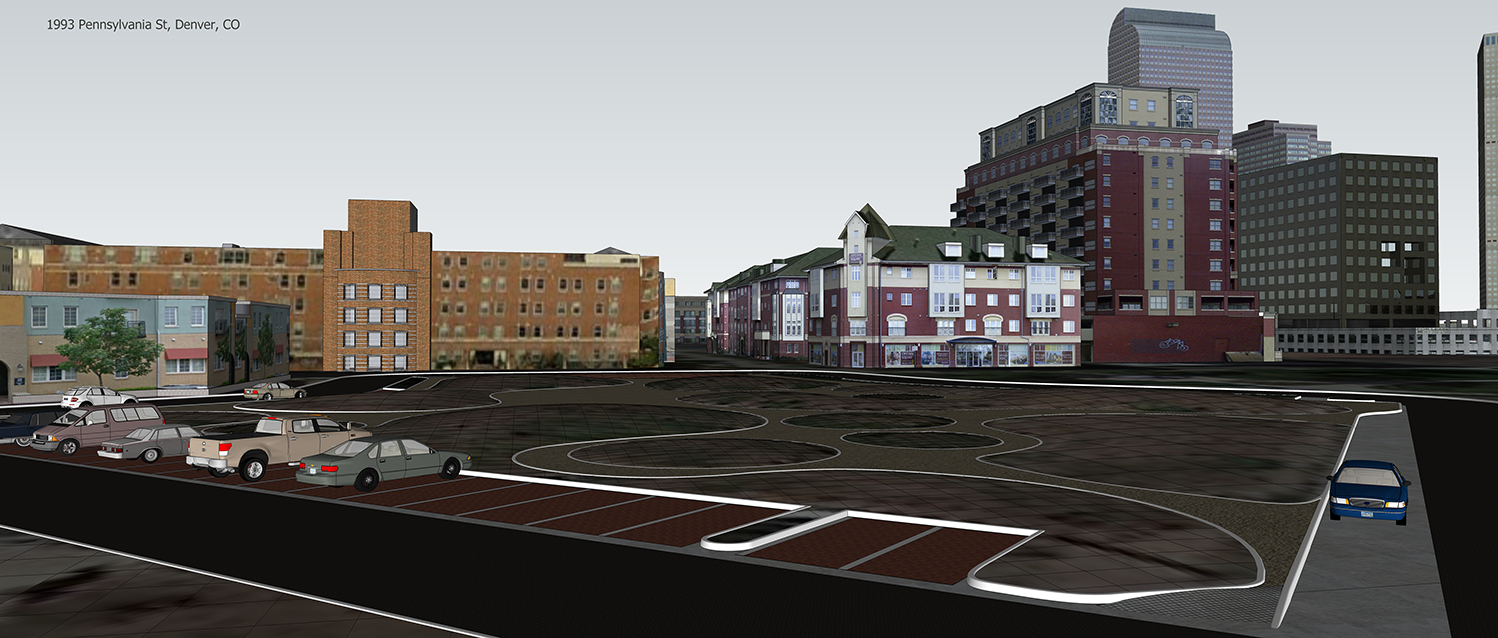
In the example scenario shown above, a fairly barren plot of land near the business district of Denver, Colorado was downloaded as two-dimensional and three-dimensional data and filled with 3D examples of civil-engineered improvements, like new curbs, fresh asphalt, decorative stones, and plantings of grass, shrubs, and mature trees.
Imagine buying a plot of land upon which you know you will build some sort of new construction. You want to know how your project will impact existing buildings, vegetation, ergonomic environments, and even see how your project will cast shadows at different times of day and during different seasons. Literally, The World Is At Your Finger Tips!